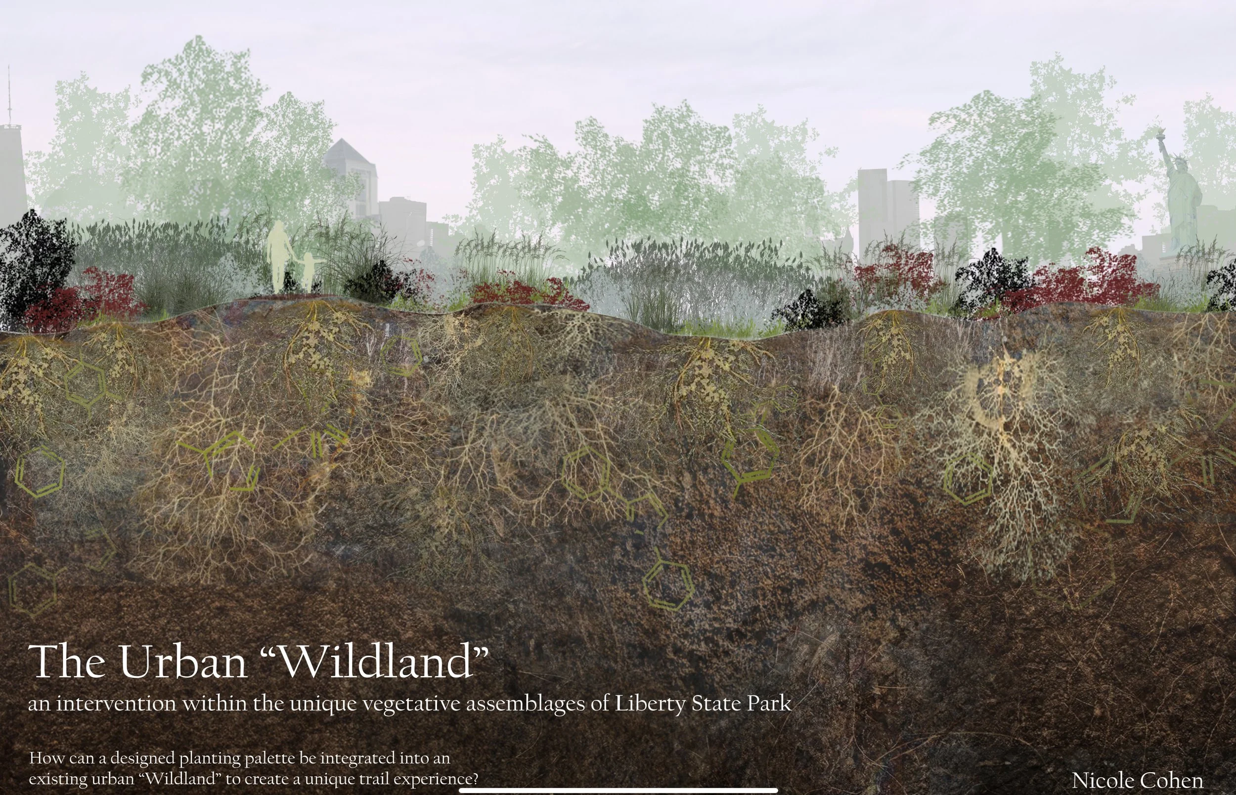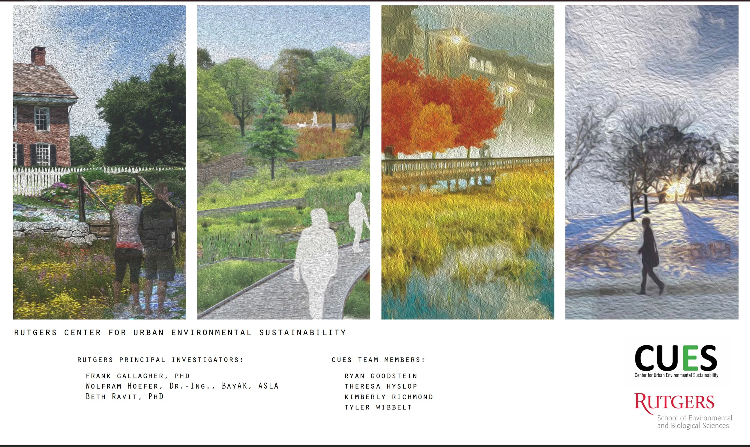
Liberty State Park Proposed Ecological Restoration: The fact that we are increasingly an urban species has been well documented. As such, achieving sustainability within the urban environment is currently a topic of considerable scientific inquiry. In addition, as urban lands expand remnant open space in any form provides valuable ecosystem services that help to move toward the goal of sustainability. For example, the combined or stacked services of heat island mitigation, storm surge protection, nutrient cycling, carbon storage and aesthetic are provided by urban forest while enhancing the quality of life for the residents. Some of the more interesting forms of urban open space are the remnant woodlands or abandoned post-industrial lands that have been naturally colonized by vegetative assemblages. These systems generally consist of a mixture of native and non-native species recognized as novel communities. The traditional perception that these assemblages are biologically depressed due to fragmentation and invasion is changing. Our work on the brownfield located in Jersey City New Jersey has proven that they can be ecologically viable.

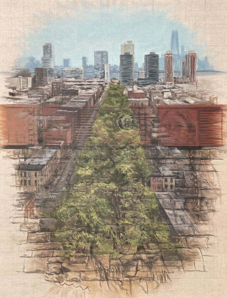
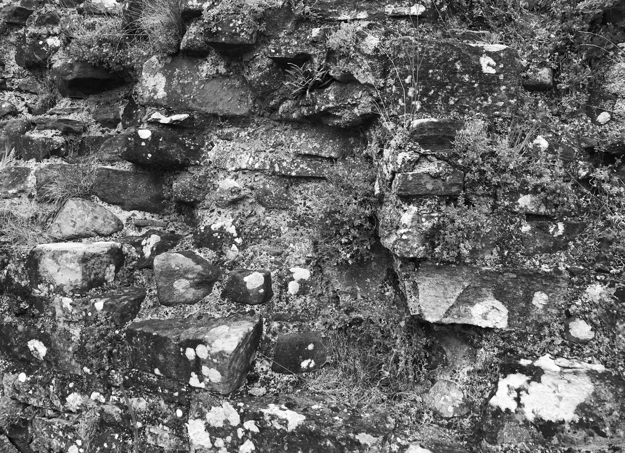
The Embankment: The Harsimus Branch Embankment is a massive, segmented stone structure that runs for six blocks through Downtown Jersey City parallel to Sixth Street. It was once part of the Pennsylvania Railroad system that connected the waterfront of Jersey City to the rest of the Country. The historic Embankment played a key role in shaping the Downtown and in the development of the Port of New York and New Jersey. With the proposed resolution of long debated jurisdiction issues, it can now simultaneously protect the city’s cultural heritage while helping to establish a new ecological identity.
The Embankment Preservation Coalition is working with the City of Jersey City and others to preserve the structure and its longer right of way for a habitat-oriented linear park, part of the East Coast Greenway Maine to Florida trail, and for potential light rail. This project has characterize the ecological communities in terms of both structural diversity and compare the health of the plant community to existing soils hazardous materials data towards an understanding or the potential adaptive reuse of this post-industrial infrastructure so critical to the revitalization of the “urban core” of Jersey City.
Graphic. Jenifer Kraus Chaoeau

New Jersey School of Conservation: The School of Conservation has entered into a Memorandum of Understanding with Rutgers The State University, School of Environmental and Biological Sciences. The purpose of the MOU is to promote scholarly exchange of information between the SOC Rutgers and the scientific community at large, in addition to allowing for the continuation of long term research initiatives. The MOU seeks to provide an organizational framework for the development of new research programs that focus on Climate Change and Sustainability. In short both the land and the people who came to the site.
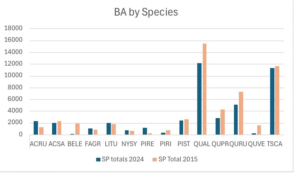
Basal area growth of the dominant tree species between 2015 and 2024.

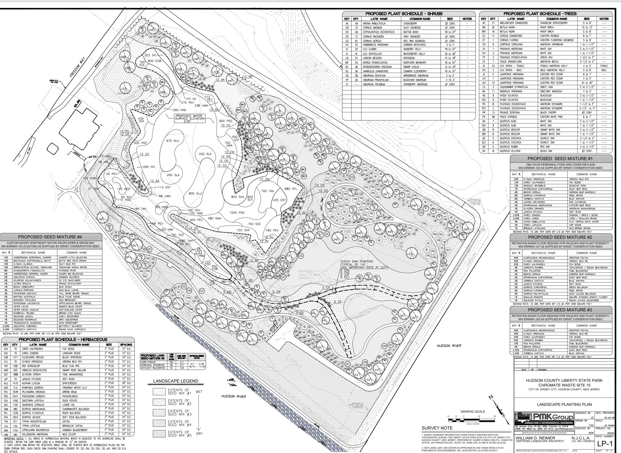
Chromium Mitigation / Wetland Creation: The removal of chromium contaminated soil to a dept of two meters allowed for the creation of a freshwater wetland. The monitoring data describe aspects of vegetation development in the first year after site preparation and seeding. An exceptionally species rich early successional vegetation has been establish in the upland portion of the restoration site. This richness appears to be present due to high number of very early successional species and seeded, later‐stage species that are mixed in the present vegetation. The rather balanced mixture of native and non‐native species probably is the result of such a combination of spontaneously establishing “volunteer” species with seeded target species. At its present stage ground cover is high and the risk of significant soil erosion is low. Even though rare plant species are not present yet, the high value of species‐rich successional vegetation is evident.

Somerville Redevelopment Plan: Next to the Somerville, NJ Transit station, a former municipal landfill operated between 1954 and 1984. In 1998 the site was designated an Area in Need of Redevelopment. The community’s Redevelopment Plan for the Borough of Somerville Station Area and Adjacent Landfill was completed in 2007. This Plan details a number of objectives for the redevelopment including new housing options, support for economic development, and pedestrian connections between the redeveloped areas, the Somerville downtown commercial district, and the NJ Transit train station.
Twelve of the Redevelopment Plan is to “provide a network of open spaces for Somerville residents, connecting active and passive recreation areas between the Raritan River and the downtown core, including existing community resources such as the Peter’s Brook Greenway and the Old Dutch Parsonage.” This open space portion of the Redevelopment Plan has been named the “Green Seam” - the corridor of open space that will connect the proposed “Hub” (high density mixed use commercial land use) and the “Heights” (moderate density town houses, low rise apartments, and office land uses), with the existing commercial downtown businesses.

Bayonne Urban Coastal Design: City of Bayonne lies between New York and Newark Bays in the centerf the Hudson-Raritan Estuary (HRE). The Bayonne Golf Club owns 309 acres of riparian lands located between the new residential development on the opposite shoreline that once housed the Marine Ocean Terminal Bayonne (MOTBY) and the club, at the Hudson River entrance to the Kill van Kull. These waters are located in the HRE Upper New York Bay planning region identified in the Comprehensive Restoration Plan (CRP) for the estuary. The Bayonne Urban Coastal Design (BUCD) project provides an opportunity to consider resiliency protections that will benefit this eastern portion of Bayonne, and at the same time, create desperately needed habitats that support the Target Ecosystem Characteristics (TECs) approved in the CRP.
Three design alternatives for coastal green infrastructure – Links Island, Bird Island, and Marine Terminal Island – were developed by the authors. These designs are based on an analysis of detailed site and surrounding land use conditions, a review of relevant scientific literature, case studies that beneficially reused dredge material for coastal ecologic restoration projects, NOAA-FEMA projections of future sea level rise and storm surges predicted for 2050, and the TEC habitat needs identified in the CRP.
